STAGING
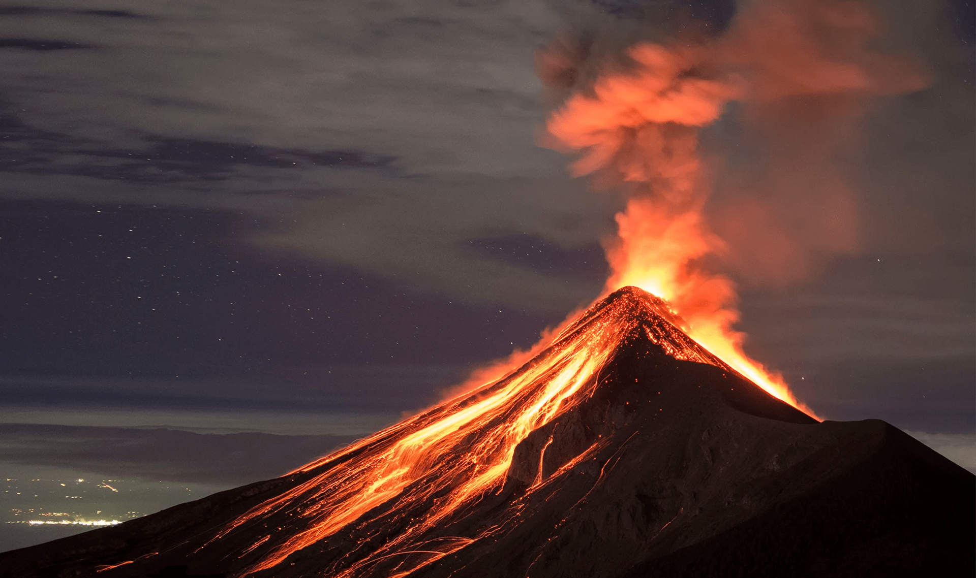
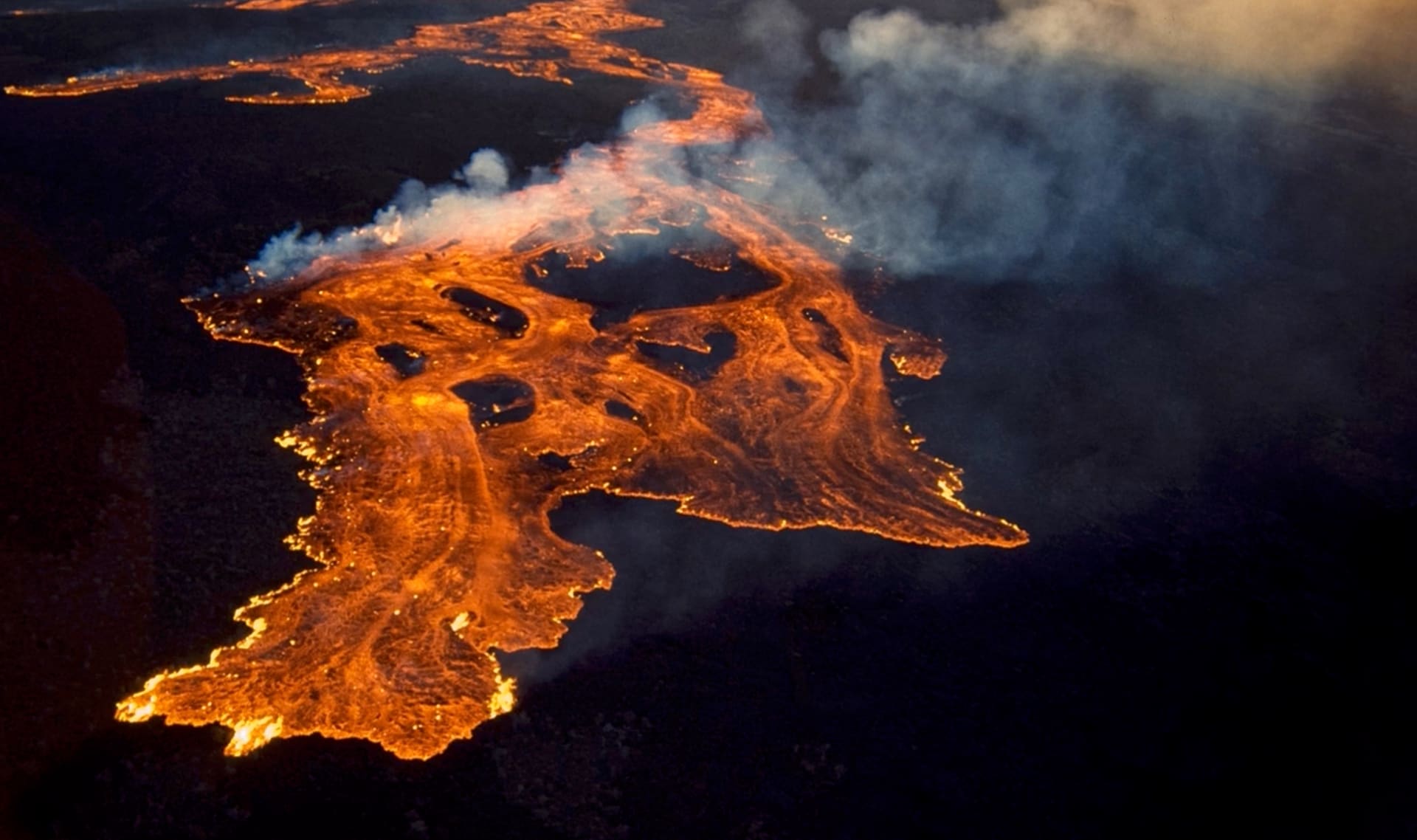
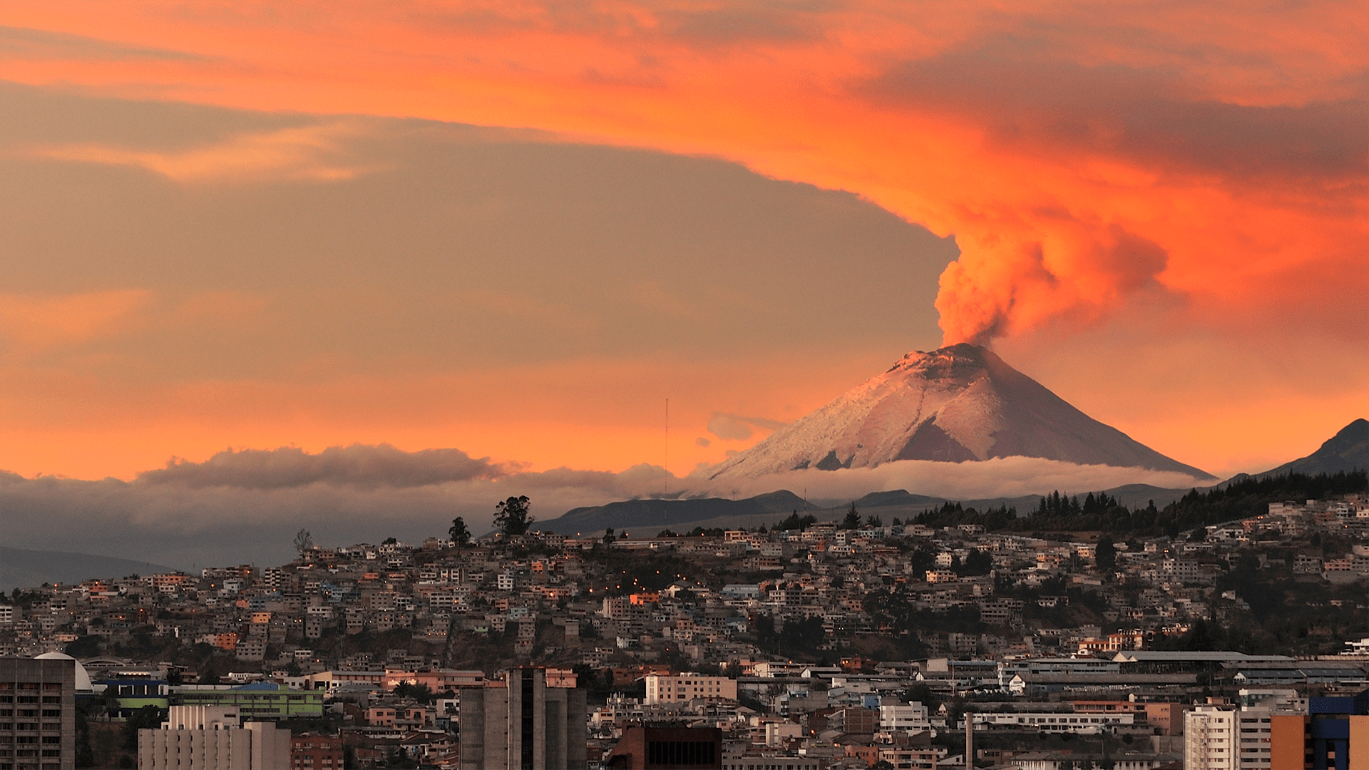
Could a volcano pop up where you live?

Could a volcano pop up where you live?

Scroll for prep
Full Screen
Controls Icon Exit Full Screen

Discuss:

Before we go any further, I’m curious to hear your ideas.
Do you think it’s possible for a volcano to pop up where you live? Why or why not?

Full Screen
Controls Icon Exit Full Screen
Full Screen
Controls Icon Exit Full Screen
Full Screen
Controls Icon Exit Full Screen
Full Screen
Controls Icon Exit Full Screen
Full Screen
Controls Icon Exit Full Screen
Full Screen
Controls Icon Exit Full Screen
Full Screen
Controls Icon Exit Full Screen
Full Screen
Controls Icon Exit Full Screen
Full Screen
Controls Icon Exit Full Screen
Full Screen
Controls Icon Exit Full Screen
Full Screen
Controls Icon Exit Full Screen
Full Screen
Controls Icon Exit Full Screen
Full Screen
Controls Icon Exit Full Screen
Full Screen
Controls Icon Exit Full Screen

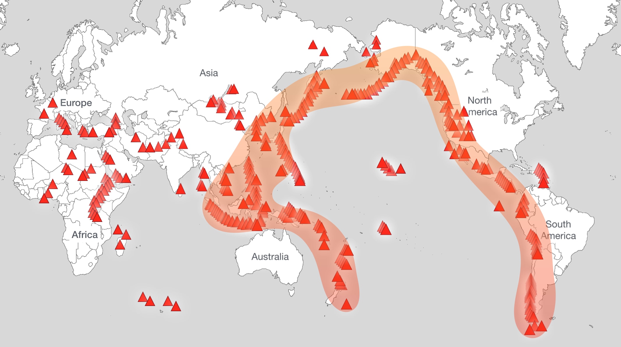
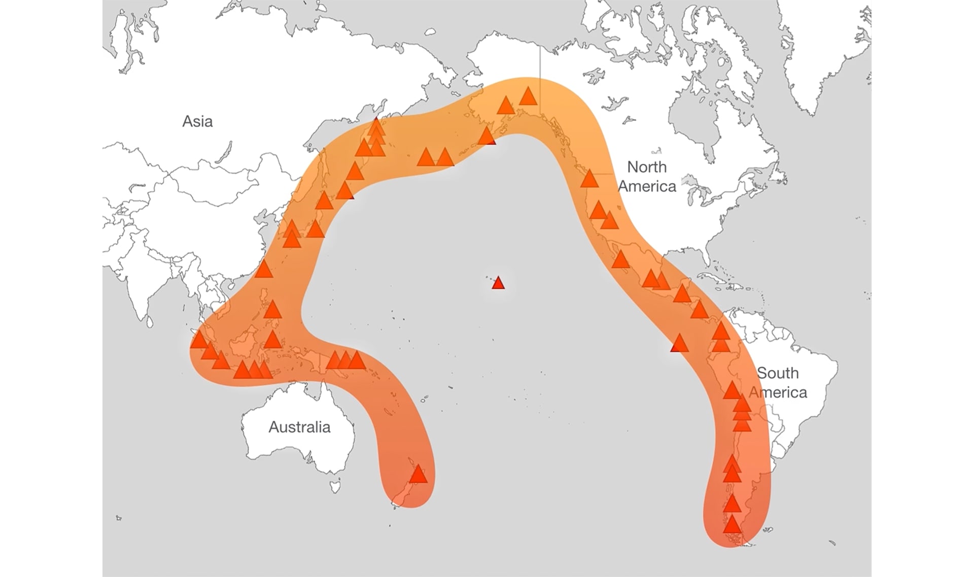
Discuss: This map shows the other volcanoes in the world. Are there any close to where you live?

volcanoesonworldmap

Full Screen
Controls Icon Exit Full Screen
Full Screen
Controls Icon Exit Full Screen
# Extensions
Below are ideas for extending this topic beyond the activity & exploration you just completed.
Full Screen
Controls Icon Exit Full Screen
# Volcano Resources

Here are some great resources for volcano research:

Here’s some information students might include in their reports:

  • Where is this volcano?
  • When did it last erupt?
  • What is most interesting about this volcano?
Full Screen
Controls Icon Exit Full Screen

Image & Video Credits

Mystery Science respects the intellectual property rights of the owners of visual assets. We make every effort to use images and videos under appropriate licenses from the owner or by reaching out to the owner to get explicit permission. If you are the owner of a visual and believe we are using it without permission, please contact us—we will reply promptly and make things right.

Lesson Image
Llaima eruption by Urbatem2 , used under CC BY-SA
city of Temuco by Claude Cobar , used under CC BY-SA
Exploration
lava flowing by HUGEFloods.com , used under CC BY
lava burning branches by News World , used under CC BY
Hawaii volcano lava by BigIslandHikes , used under CC BY
Roxbourne Park by Ewan Munro , used under CC BY-SA
stromboli by Steven W. Dengler , used under CC BY-SA
team of mules by unknown
ground cracks by Rémih
volcano fissure by activistpost , used under CC BY
Paricutin by K. Segerstrom, U.S. Geological Survey
lava flows by RBM
building on mountain by Fernando De la Torre , used under CC BY-SA
Mount Yasur by Eten over Zee , used under CC BY
Mt. St. Helens crater by R. P. Hoblitt
collecting lava by R.L. Christiansen
crater by MONUSCO Photos , used under CC BY-SA
lava sampling by USGS
Trimble Knob by Raph Levien , used under CC BY
Activity
ducks by Arne List , used under CC BY-SA
pencil by Charm
red pencil by Tom Ahearn
Other
split rocks by Rosino , used under CC BY
Activity Prep

Print Prep

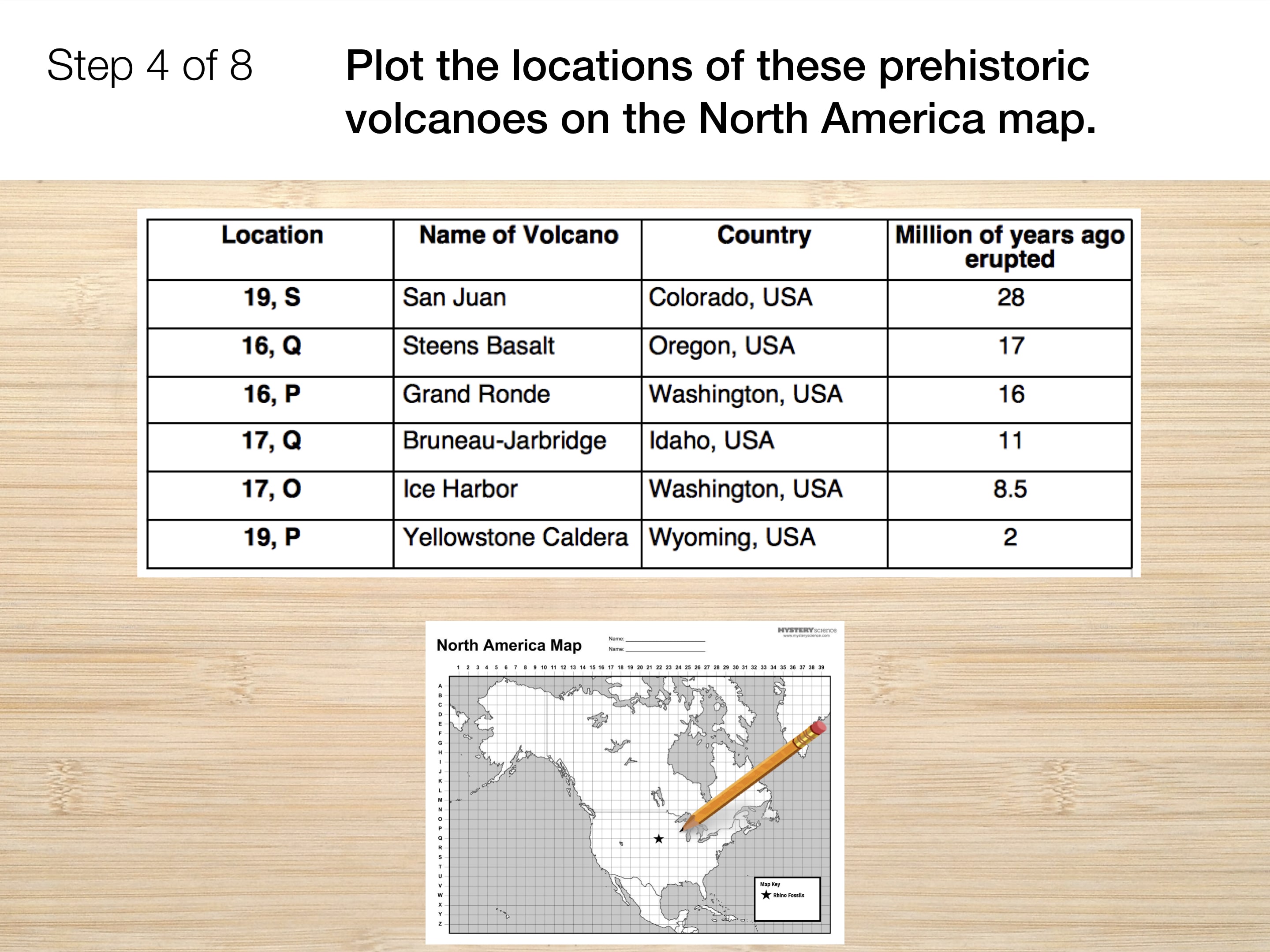
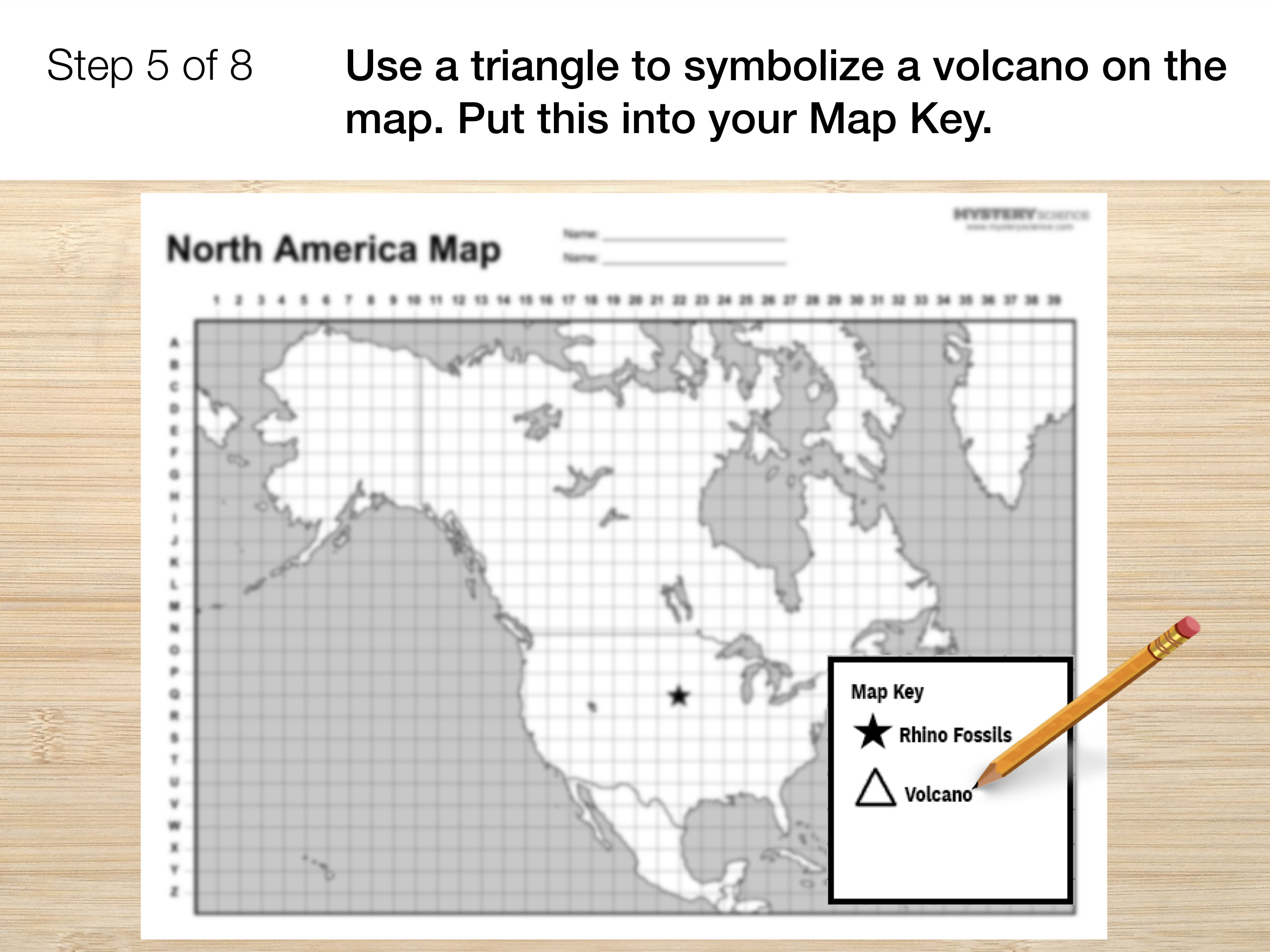
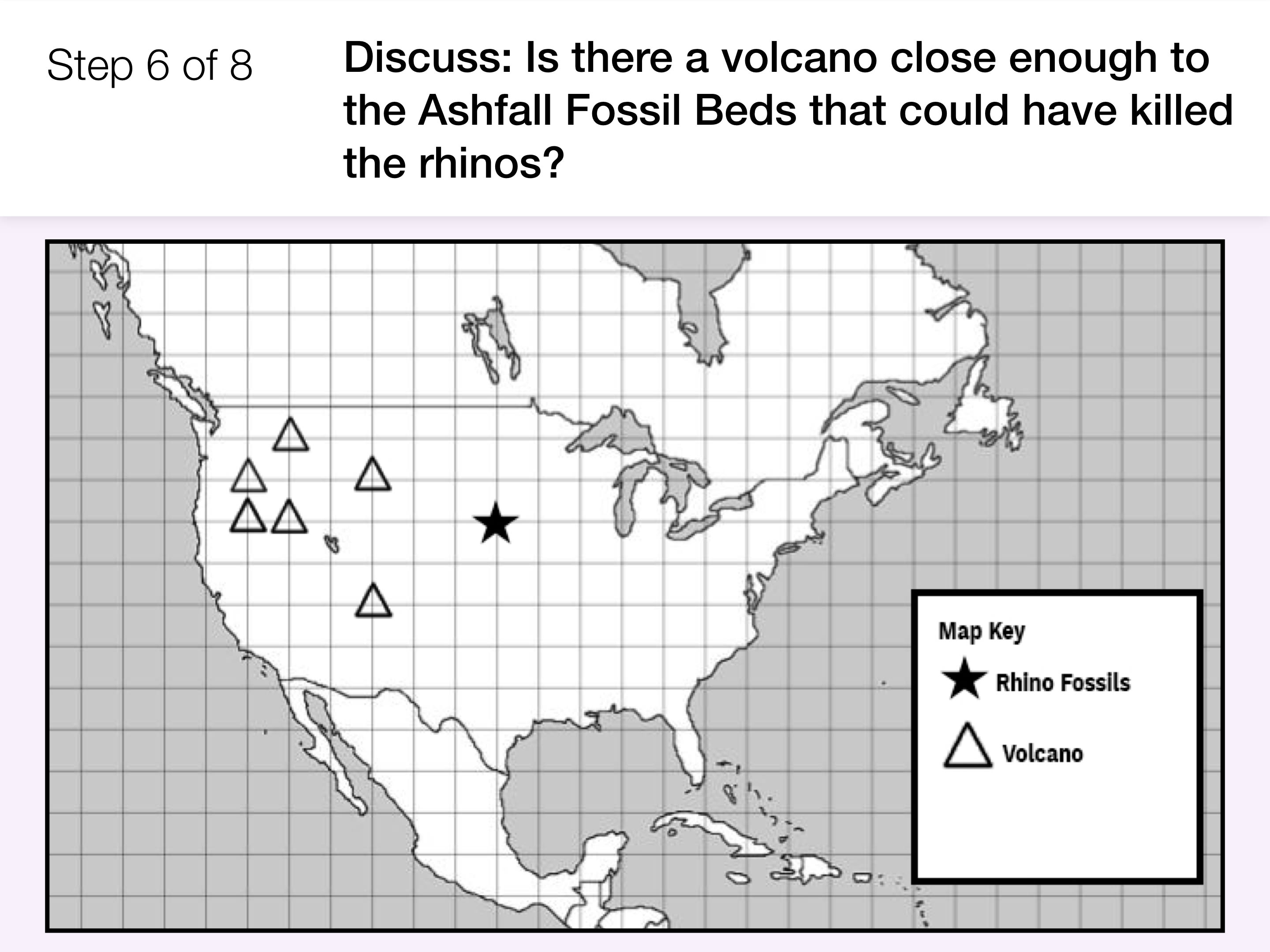
In this lesson, students explore the past and present pattern of where volcanoes exist on the earth. In the activity, Mapping Volcanoes, students plot volcano locations on a world map and look for patterns. Students analyze these maps to discover that volcanoes form a “Ring of Fire” around the Pacific Ocean.

Preview activity

Exploration

7 mins

Wrap-Up

8 mins

Extend this lesson

Download this Lesson to your device so you can play it offline: